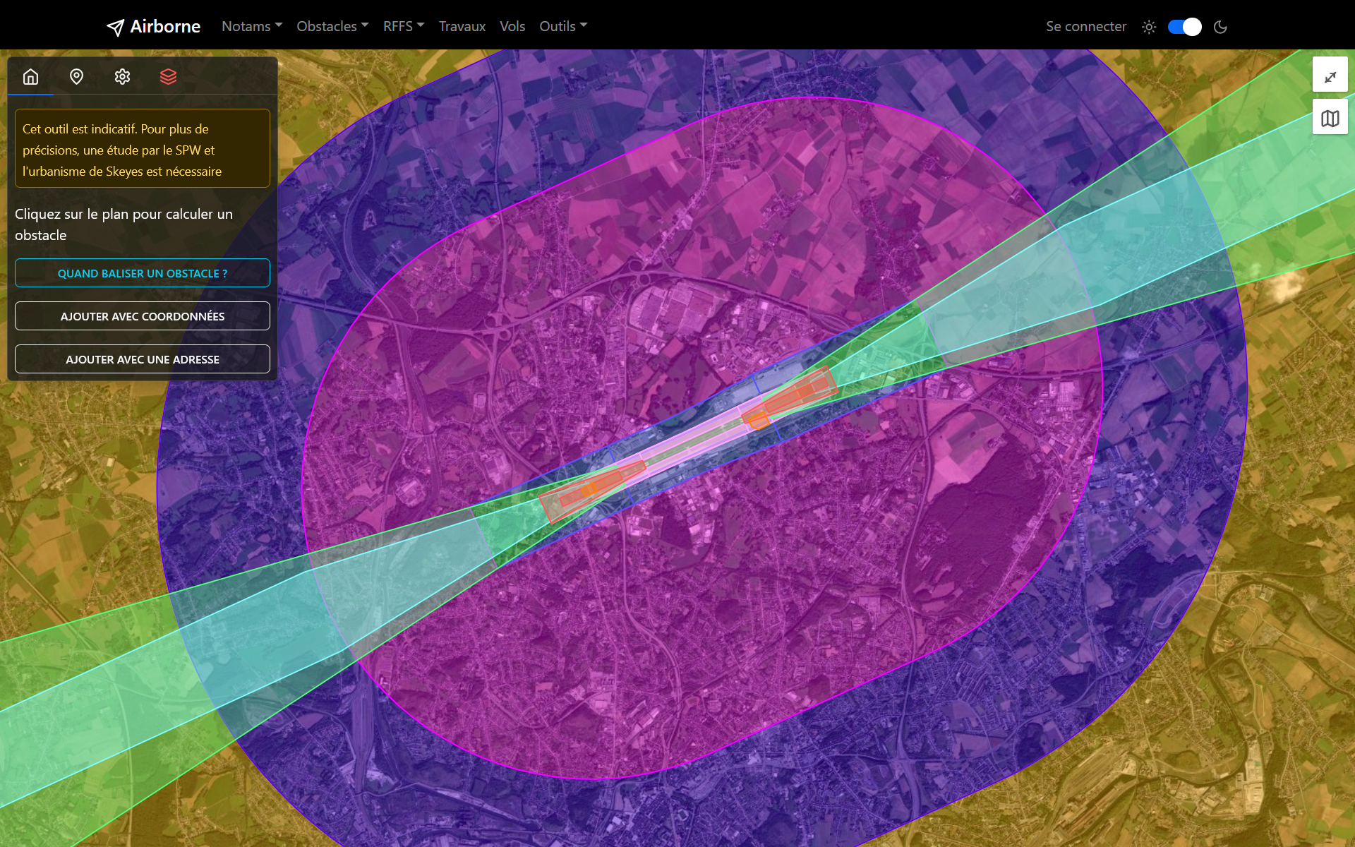
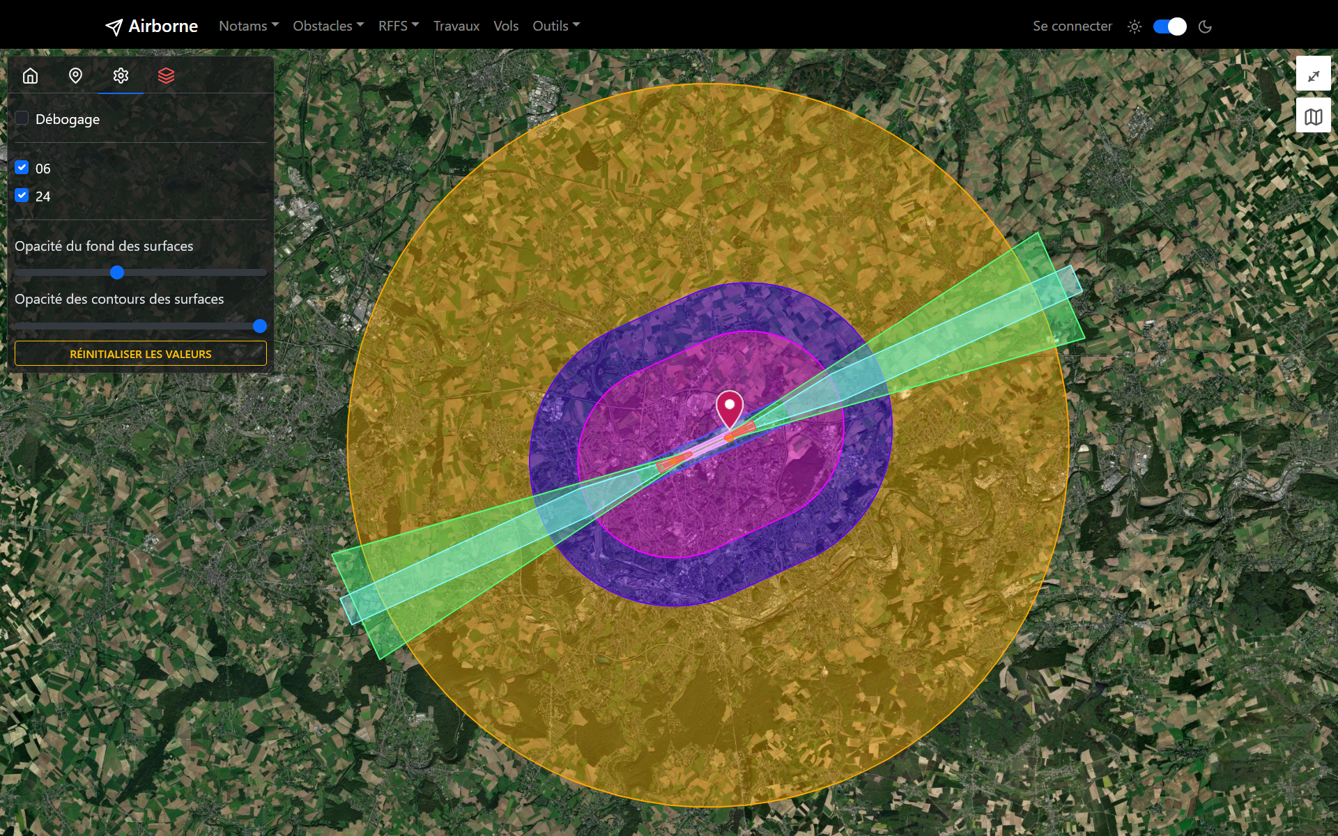
To guarantee the safety of aircraft near airports, aeronautical easements (obstacle limitation surfaces) have been defined by EASA. These easements are materialised by geographic zones with specific elevations, within which the presence and height of obstacles (cranes, pylons, trees, buildings, wind turbines…) are regulated, or even prohibited.
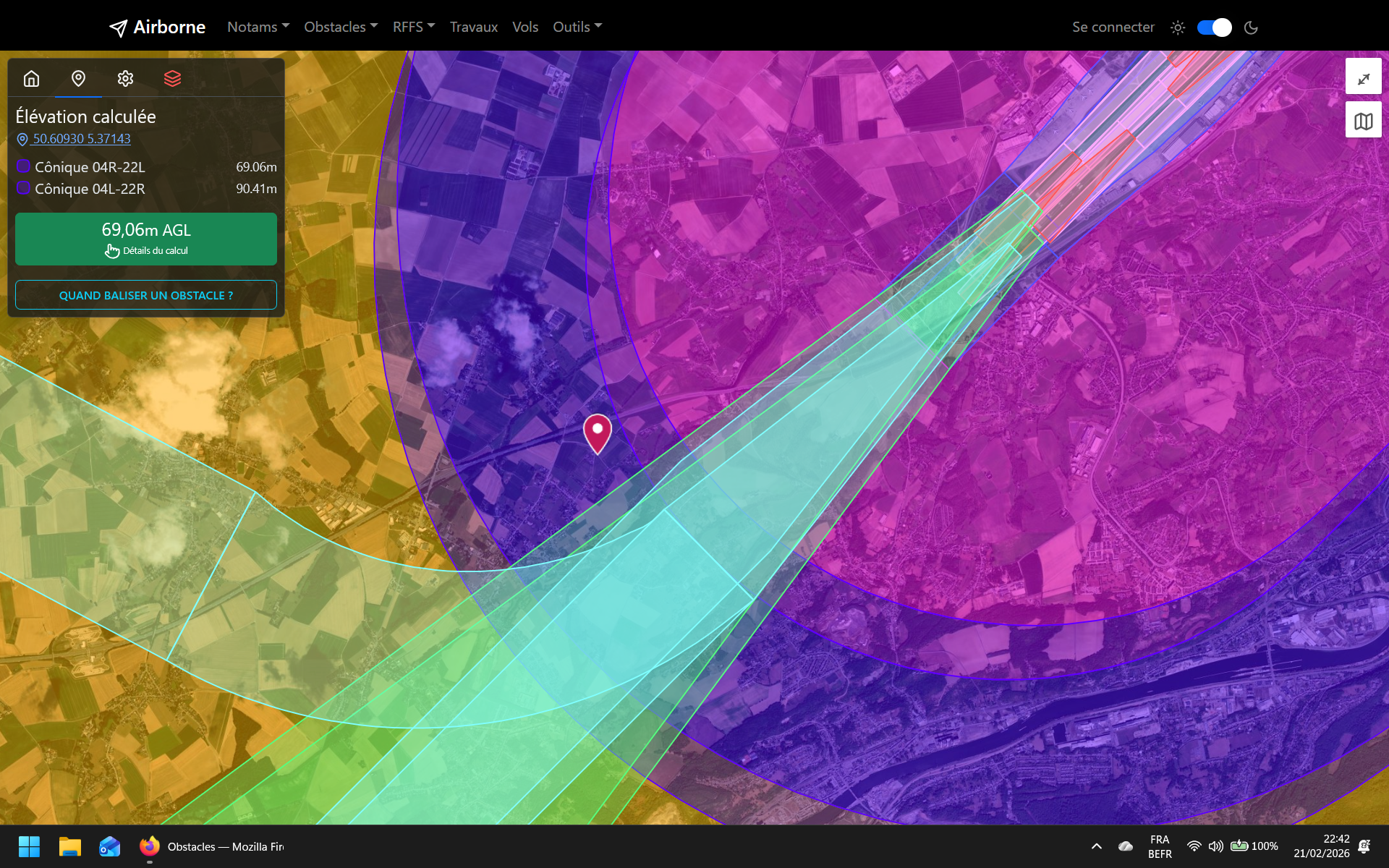
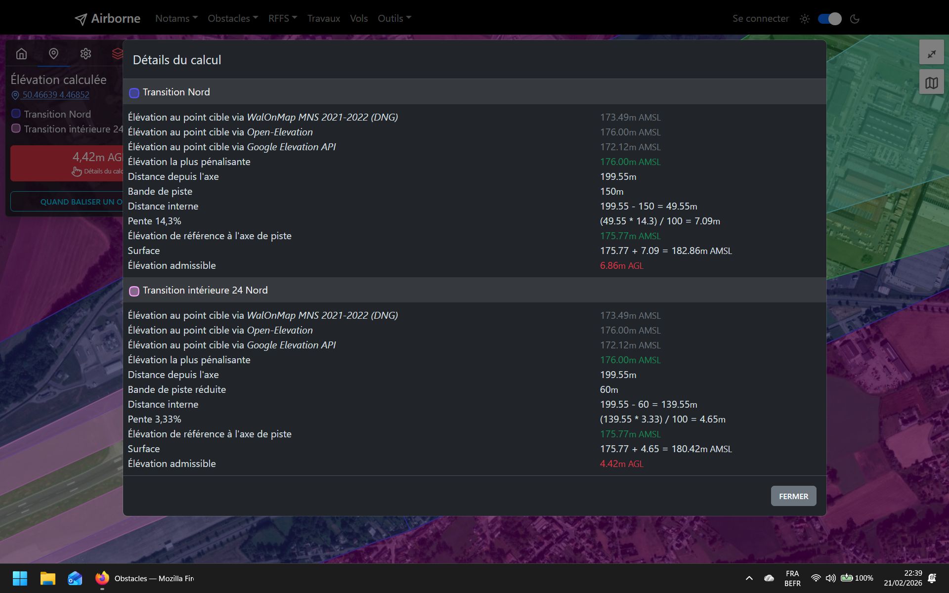
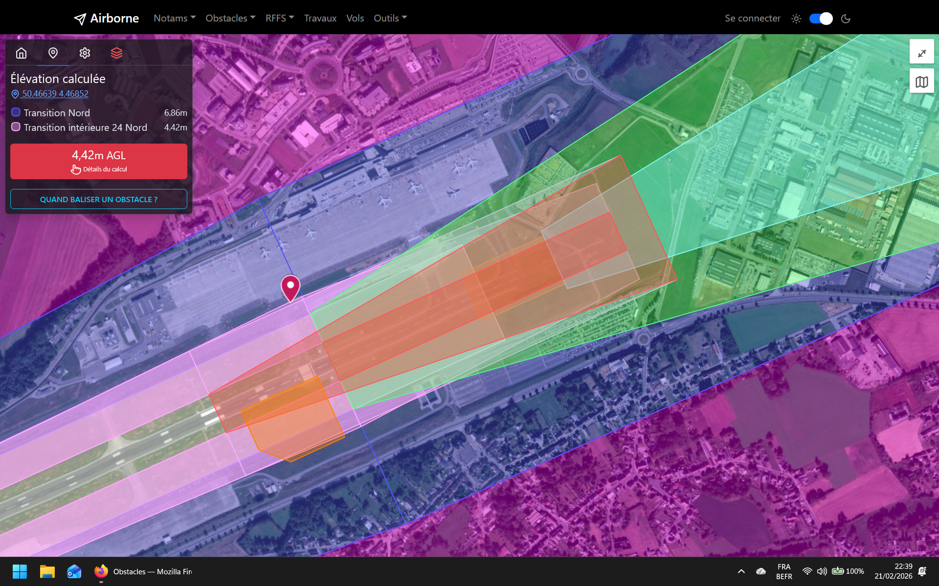
Obstacles displays an OpenStreetMap map over which the aeronautical easements are drawn. With a single click on the map, the application calculates the maximum authorised height at that specific location.
Features
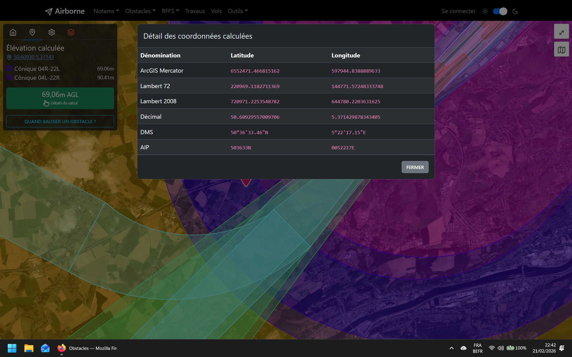
An elevation can be calculated by clicking on the map, but also by entering an address or coordinates. Lambert 72, Lambert 2008, DMS, decimal and AIP coordinate formats are supported.
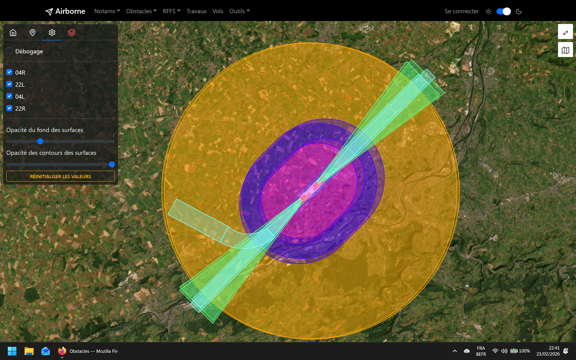
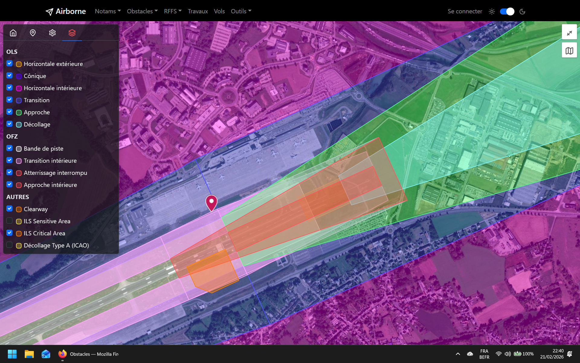
The application takes into account OFZ and OLS surfaces, namely:
- OFZ:
- Runway strip;
- Inner approach surface;
- Balked landing surface;
- Inner transitional surfaces.
- OLS:
- Approach surface;
- Take-off climb surface;
- Transitional surfaces (lateral surfaces);
- Inner horizontal surface;
- Conical surface;
- Outer horizontal surface.
In addition, specific zones can be added, such as clearways and the sensitive and critical areas of an ILS.